
Ragiv:LocationDRCongo.png
Size of this preview: 800 × 370 pixels. Other resolutions: 320 × 148 pixels • 640 × 296 pixels • 1,357 × 628 pixels.
Ragiv rigik (1,357 × 628 pixel, ragivagret: 51 KB, pated MIME: image/png)
| Bepenam |
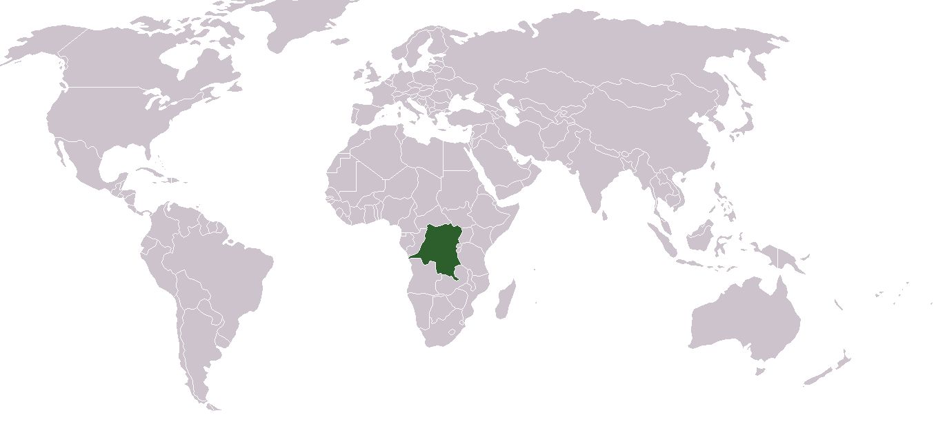
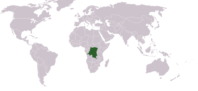
English: Location map for the Demoratic Republic of the Congo
Français : Carte de localisation de la République démocratique du Congo |
| Dät | |
| Fon | Vobot okik |
| Lautan | Dbenbenn from image "BlakMap-Worl" (doesn't exist any more on wikipedia) created by Vardion |
| |
This work has been released into the public domain by its author, Vardion, at the Linglänapük Vükiped project. This applies worldwide. In case this is not legally possible: |

|
File:LocationDRCongo.svg is a vector version of this file. It should be used in place of this PNG file when not inferior.
File:LocationDRCongo.png → File:LocationDRCongo.svg
For more information, see Help:SVG. |
 |
Jenotem ragiva
Välolös däti/timi ad logön ragivi soäsä äbinon ün tim at.
| Dät/Tim | Magodil | Mafots | Geban | Küpet | |
|---|---|---|---|---|---|
| anuik | 22:03, 2011 gustul 30id | | 1,357 × 628 (51 KB) | Hoshie | added South Sudan |
| 13:28, 2007 mäzul 24id |  | 1,357 × 628 (45 KB) | Hoshie | added Cabinda, which fixed the DR Congo-Angola boundry. | |
| 16:21, 2006 dekul 2id |  | 1,357 × 628 (27 KB) | Moyogo | Reverted to earlier revision | |
| 17:52, 2006 novul 19id |  | 1,357 × 628 (25 KB) | Moyogo | Why is Belgium coloured? | |
| 01:05, 2006 novul 9id |  | 1,357 × 628 (44 KB) | Deltabeignet | Period-specific map. | |
| 20:11, 2006 yunul 6id |  | 1,357 × 628 (27 KB) | Helmandsare | == Summary == Location map for the Democratic Republic of the Congo. Created by User:dbenbenn from Image:BlankMap-World.png. == Licensing == {{PD-user-wikimedia|Vardion|en}} <!--Categories--> [[Catego | |
| 20:30, 2005 febul 12id |  | 1,357 × 628 (21 KB) | Dbenbenn | higher resolution version | |
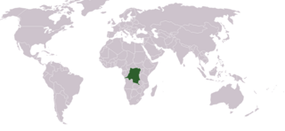
| 23:03, 2004 dekul 11id |  | 250 × 115 (17 KB) | EugeneZelenko | Location map for the Democratic Republic of the Congo.<br/>Originally created for English Wikipedia by Vardion.<br/>{{PD}}<br/>Category:Country locator maps |
Yüms
Pads sököl payümons ko pad at:
Ragivigeb Valöpik
The following other wikis use this file:
- Geb su ar.wikipedia.org
- Geb su ar.wikinews.org
- Geb su bg.wikipedia.org
- Geb su bn.wikipedia.org
- Geb su bs.wikipedia.org
- Geb su ceb.wikipedia.org
- Geb su cs.wikipedia.org
- Geb su de.wikinews.org
- Geb su de.wiktionary.org
- Geb su en.wikipedia.org
- Geography of the Democratic Republic of the Congo
- User:DanielZM/test
- Colonization of the Congo Basin
- Portal:Democratic Republic of the Congo
- Portal:Democratic Republic of the Congo/Intro
- List of moths of the Democratic Republic of the Congo
- List of butterflies of the Democratic Republic of the Congo
- List of non-marine molluscs of the Democratic Republic of the Congo
- Geb su eo.wikipedia.org
- Geb su es.wikipedia.org
- Geb su frp.wikipedia.org
- Geb su fr.wikipedia.org
- Geb su fr.wiktionary.org
- Geb su he.wikipedia.org
- Geb su he.wikivoyage.org
- Geb su hr.wikipedia.org
- Geb su hr.wiktionary.org
- Demokratiska Republiken Kongo
- 刚果民主共和国
- Λαϊκή Δημοκρατία του Κονγκό
- הרפובליקה הדמוקרטית של קונגו
- コンゴ民主共和国
- Демократска Република Конго
- Демократическая Республика Конго
- Demokratische Republik Kongo
- Kongói Demokratikus Köztársaság
- Repubblica Democratica del Congo
- Kéyah Káango Shádiʼááhjí Siʼánígíí
- República Democrática del Congo
- Geb su ht.wikipedia.org
- Geb su incubator.wikimedia.org
- Geb su it.wikivoyage.org
- Geb su ja.wikipedia.org
- Geb su ja.wikinews.org
View more global usage of this file.