
Ragiv:Map of Pennsylvania highlighting Blair County.svg

Size of this PNG preview of this SVG file: 800 × 460 pixels. Other resolutions: 320 × 184 pixels • 640 × 368 pixels • 1,024 × 589 pixels • 1,280 × 736 pixels • 2,560 × 1,472 pixels • 4,950 × 2,846 pixels.
Ragiv rigik (ragiv in fomät: SVG, magodaziöbs 4,950 × 2,846, gretot: 106 KB)
Plän brefik
| Bepenam |
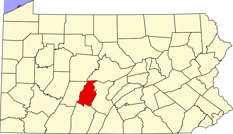
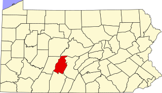
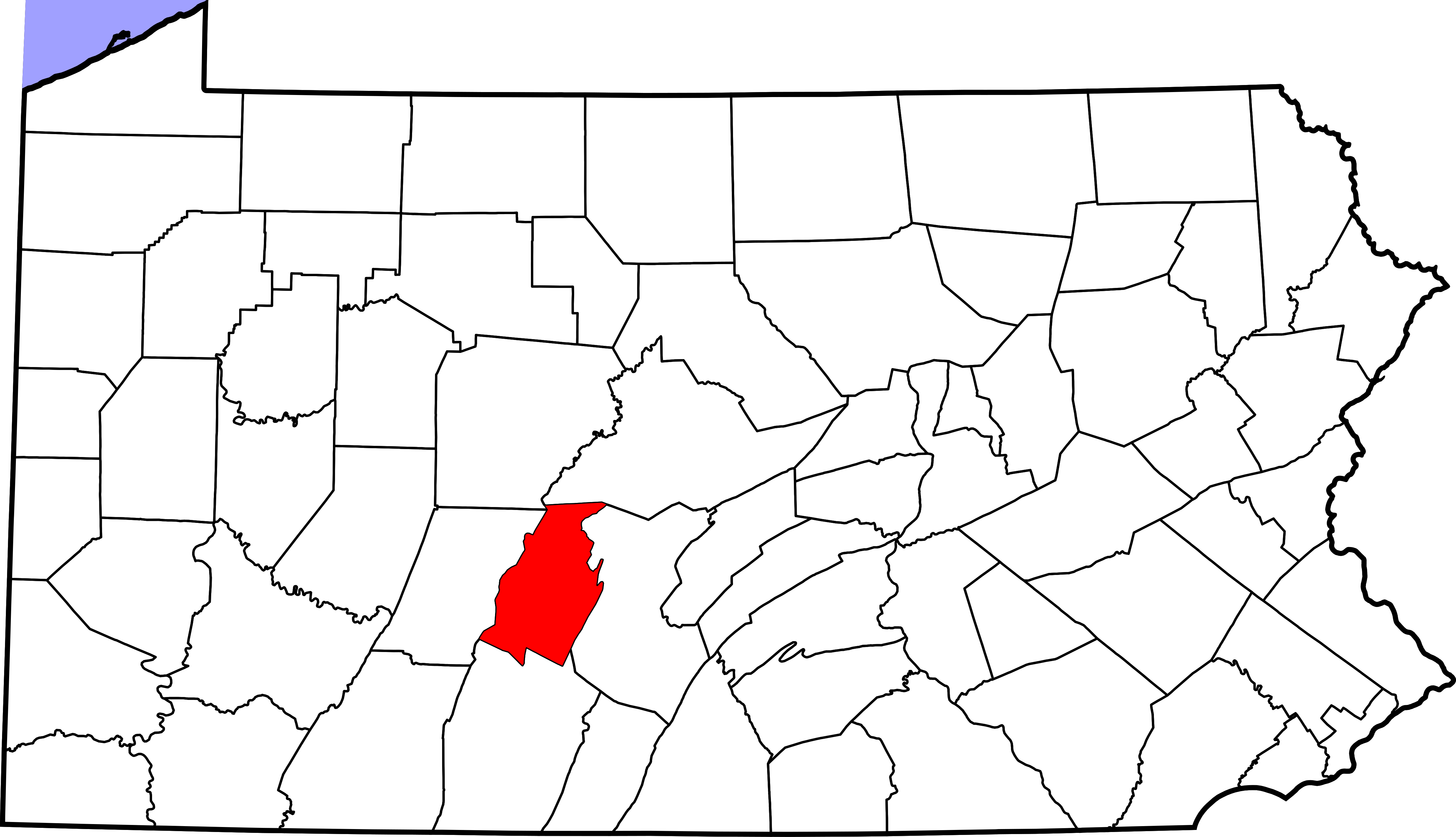
English: This is a locator map showing Blair County in Pennsylvania. For more information, see Commons:United States county locator maps. |
| Dät | |
| Fon |
Vobot okik: English: The maps use data from nationalatlas.gov, specifically countyp020.tar.gz on the Raw Data Download page. The maps also use state outline data from statesp020.tar.gz. The Florida maps use hydrogm020.tar.gz to display Lake Okeechobee. |
| Lautan | David Benbennick |
| SVG genesis |
Dälastad
| I, the copyright holder of this work, release this work into the public domain. This applies worldwide. In some countries this may not be legally possible; if so: I grant anyone the right to use this work for any purpose, without any conditions, unless such conditions are required by law. |
Jenotem ragiva
Välolös däti/timi ad logön ragivi soäsä äbinon ün tim at.
| Dät/Tim | Magodil | Mafots | Geban | Küpet | |
|---|---|---|---|---|---|
| anuik | 16:20, 2006 febul 12id | | 4,950 × 2,846 (106 KB) | David Benbennick | {{subst:User:Dbenbenn/clm|county=Blair County|state=Pennsylvania|type=county}} |
Yüms
Pads sököl payümons ko pad at:
Ragivigeb Valöpik
The following other wikis use this file:
- Geb su ar.wikipedia.org
- Geb su az.wikipedia.org
- Geb su bg.wikipedia.org
- Geb su bpy.wikipedia.org
- Geb su ca.wikipedia.org
- Geb su cdo.wikipedia.org
- Geb su ceb.wikipedia.org
- Geb su cy.wikipedia.org
- Geb su de.wikipedia.org
- Geb su en.wikipedia.org
- List of counties in Pennsylvania
- Blair County, Pennsylvania
- Allegheny Township, Blair County, Pennsylvania
- Altoona, Pennsylvania
- Antis Township, Blair County, Pennsylvania
- Bellwood, Pennsylvania
- Blair Township, Pennsylvania
- Catharine Township, Pennsylvania
- Claysburg, Pennsylvania
- Duncansville, Pennsylvania
- Frankstown Township, Blair County, Pennsylvania
- Freedom Township, Blair County, Pennsylvania
- Greenfield Township, Blair County, Pennsylvania
- Hollidaysburg, Pennsylvania
- Huston Township, Blair County, Pennsylvania
- Juniata Township, Blair County, Pennsylvania
- Logan Township, Blair County, Pennsylvania
- Martinsburg, Pennsylvania
- Newry, Pennsylvania
- North Woodbury Township, Pennsylvania
- Roaring Spring, Pennsylvania
- Snyder Township, Blair County, Pennsylvania
- Taylor Township, Blair County, Pennsylvania
- Tipton, Pennsylvania
- Tyrone, Pennsylvania
- Tyrone Township, Blair County, Pennsylvania
- Williamsburg, Pennsylvania
- Woodbury Township, Blair County, Pennsylvania
- Tunnelhill, Pennsylvania
- Puzzletown, Pennsylvania
View more global usage of this file.