
Ragiv:Valga maakond.svg

Size of this PNG preview of this SVG file: 800 × 576 pixels. Other resolutions: 320 × 230 pixels • 640 × 460 pixels • 1,024 × 737 pixels • 1,280 × 921 pixels • 2,560 × 1,842 pixels • 884 × 636 pixels.
Ragiv rigik (ragiv in fomät: SVG, magodaziöbs 884 × 636, gretot: 450 KB)
Plän brefik
| Bepenam |
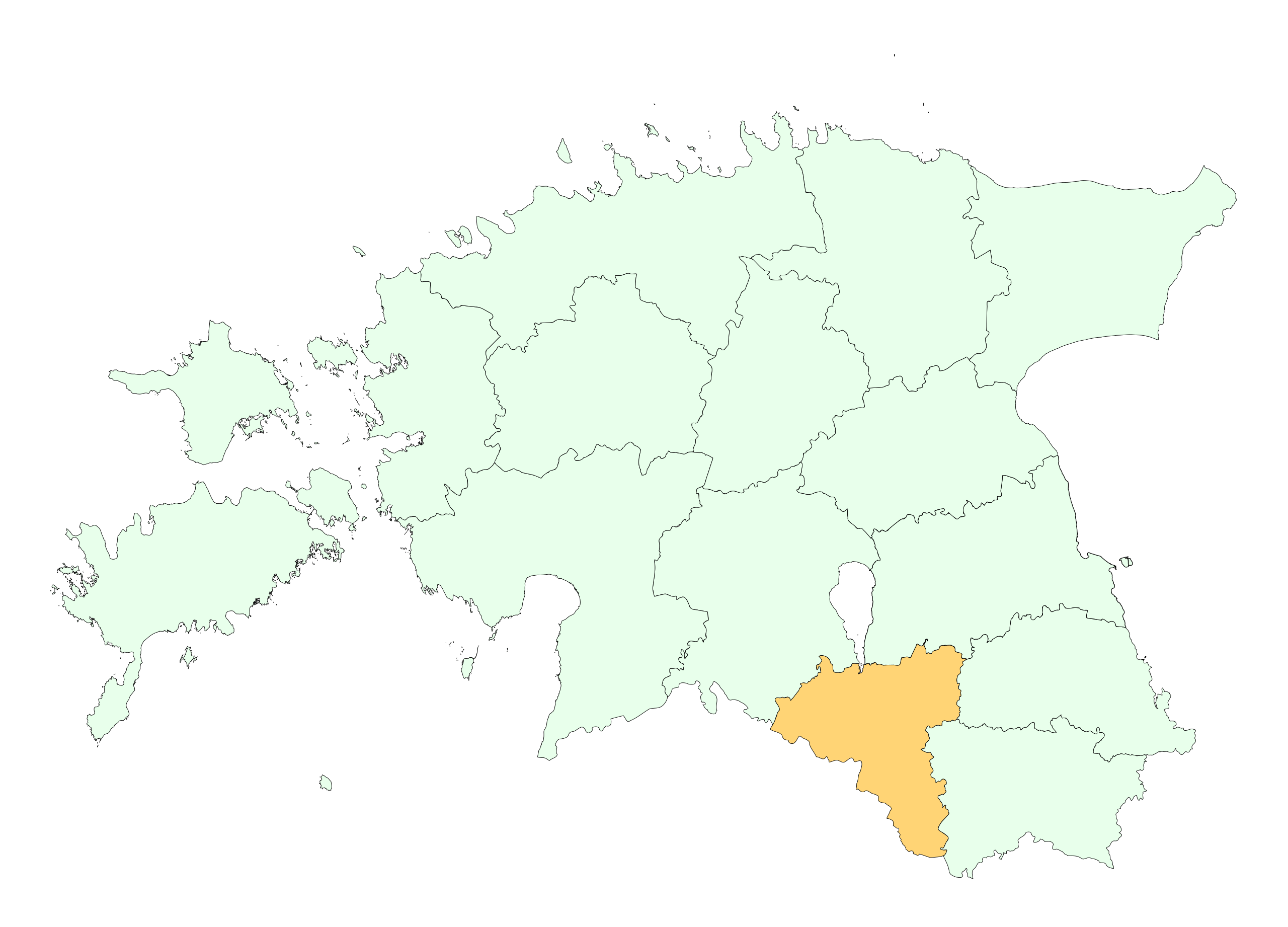
English: Location of Valga county |
||
| Dät | |||
| Fon | re-creating the file | ||
| Lautan | Estonian Land Board | ||
| Däl (Reusing this file) |
|
Dälastad

|
This map uses administrative map from Estonian Land Board (1.2006) as its data source. Reproduction is authorised, provided the data source is acknowledged and validity date is provided.
Eesti: Andmete kasutamisel tuleb viitena ära märkida andmeallikana Maa-amet ning viidata andmete seisule.
|
Jenotem ragiva
Välolös däti/timi ad logön ragivi soäsä äbinon ün tim at.
| Dät/Tim | Magodil | Mafots | Geban | Küpet | |
|---|---|---|---|---|---|
| anuik | 13:20, 2009 prilul 24id | | 884 × 636 (450 KB) | Mmh | {{Information |Description={{en|1=Location of Valga county}} |Source=re-creating the file |Author=Estonian Land Board |Date=2006 |Permission={{EST-Land Board|1.2006}} |other_versions= }} <!--{{ImageUpload|full}}--> [[Category:Locator maps of counties of |
Yüms
Ragivigeb Valöpik
The following other wikis use this file:
- Geb su be-tarask.wikipedia.org
- Geb su be.wikipedia.org
- Geb su et.wikipedia.org
- Geb su hr.wikipedia.org
- Geb su hu.wikipedia.org
- Geb su ko.wikipedia.org
- Geb su kw.wikipedia.org
- Geb su nn.wikipedia.org
- Geb su pt.wikipedia.org
- Geb su se.wikipedia.org