
Ragiv:AB-cities-roads.png

Size of this preview: 449 × 600 pixels. Other resolutions: 180 × 240 pixels • 524 × 700 pixels.
Ragiv rigik (524 × 700 pixel, ragivagret: 57 KB, pated MIME: image/png)
Plän brefik
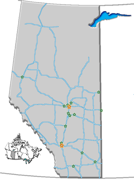
| Bepenam | Map of Alberta with cities and roads |
| Dät | |
| Fon | GIS data |
| Lautan | Qyd (bespik · keblünots) |
| Däl (Reusing this file) |
All |
| Other versions | Image:AB-towns-roads.png (towns, cities, roads, names), Image:AB-towns-highways.png (simplified), Image:AB towns+names.png (towns, cities, roads) |
Dälastad
| I, the copyright holder of this work, release this work into the public domain. This applies worldwide. In some countries this may not be legally possible; if so: I grant anyone the right to use this work for any purpose, without any conditions, unless such conditions are required by law. |
Jenotem ragiva
Välolös däti/timi ad logön ragivi soäsä äbinon ün tim at.
| Dät/Tim | Magodil | Mafots | Geban | Küpet | |
|---|---|---|---|---|---|
| anuik | 19:35, 2006 dekul 31id | | 524 × 700 (57 KB) | Qyd | {{Information |Description=Map of Alberta with cities and roads |Source=GIS data |Date=Oct 2006 |Author={{User|Qyd}} |Permission=All |other_versions=Image:AB-towns-roads.png (towns, cities, roads, names), Image:AB-towns-highways.png (simplif |
Yüms
Pads nonik peyümons ad ragiv at.
Ragivigeb Valöpik
The following other wikis use this file:
- Geb su en.wikipedia.org
- Geb su es.wikipedia.org