
Ragiv:Aerial View of Appenzell 14.02.2008 14-45-40.JPG

Size of this preview: 800 × 600 pixels. Other resolutions: 320 × 240 pixels • 640 × 480 pixels • 1,024 × 768 pixels • 1,280 × 960 pixels • 2,048 × 1,536 pixels.
Ragiv rigik (2,048 × 1,536 pixel, ragivagret: 1.6 MB, pated MIME: image/jpeg)
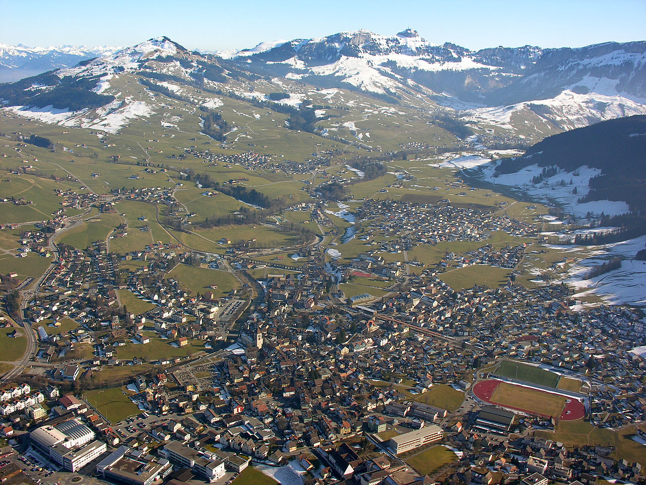
| Bepenam | Aerial View of Appenzell |
| Dät | |
| Fon | Vobot okik |
| Lautan | Hansueli Krapf |
| Däl (Reusing this file) |
Attribution ShareAlike 3.0 |
| Camera location | | View this and other nearby images on: OpenStreetMap |
|---|
This file is licensed under the Creative Commons Attribution-Share Alike 3.0 Unported license.
- Binol libik:
- to share – to copy, distribute and transmit the work
- to remix – to adapt the work
- Under the following conditions:
- attribution – You must give appropriate credit, provide a link to the license, and indicate if changes were made. You may do so in any reasonable manner, but not in any way that suggests the licensor endorses you or your use.
- share alike – If you remix, transform, or build upon the material, you must distribute your contributions under the same or compatible license as the original.
| Annotations | This image is annotated: View the annotations at Commons |
Jenotem ragiva
Välolös däti/timi ad logön ragivi soäsä äbinon ün tim at.
| Dät/Tim | Magodil | Mafots | Geban | Küpet | |
|---|---|---|---|---|---|
| anuik | 08:06, 2009 yunul 15id | | 2,048 × 1,536 (1.6 MB) | Simisa | {{Information |Description=Aerial View of Appenzell |Source=Own Work |Date=see metadata |Author=Hansueli Krapf |Permission=Attribution ShareAlike 3.0 |other_versions= }} {{cc-by-sa-3.0}} [[Category:Aerial photographs of the canton of App |
Yüms
Pads sököl payümons ko pad at:
Ragivigeb Valöpik
The following other wikis use this file:
- Geb su als.wikipedia.org
- Geb su bg.wikipedia.org
- Geb su ca.wikipedia.org
- Geb su ceb.wikipedia.org
- Geb su cs.wikipedia.org
- Geb su de.wikipedia.org
- Geb su de.wikivoyage.org
- Geb su en.wikipedia.org
- Geb su gd.wikipedia.org
- Geb su he.wikipedia.org
- Geb su it.wikipedia.org
- Geb su nn.wikipedia.org
- Geb su no.wikipedia.org
- Geb su pl.wikipedia.org
- Geb su pl.wikivoyage.org
- Geb su ru.wikipedia.org
- Geb su sh.wikipedia.org
- Geb su simple.wikipedia.org
- Geb su sk.wikipedia.org
- Geb su sr.wikipedia.org
- Geb su sv.wikipedia.org
- Geb su uk.wikipedia.org
- Geb su vec.wikipedia.org
- Geb su vi.wikipedia.org
- Geb su www.wikidata.org