
Ragiv:Buôn Ma Thuột city square.jpg
Size of this preview: 800 × 530 pixels. Other resolutions: 320 × 212 pixels • 640 × 424 pixels • 1,024 × 679 pixels • 1,280 × 849 pixels • 2,256 × 1,496 pixels.
Ragiv rigik (2,256 × 1,496 pixel, ragivagret: 517 KB, pated MIME: image/jpeg)
Plän brefik
| Bepenam |
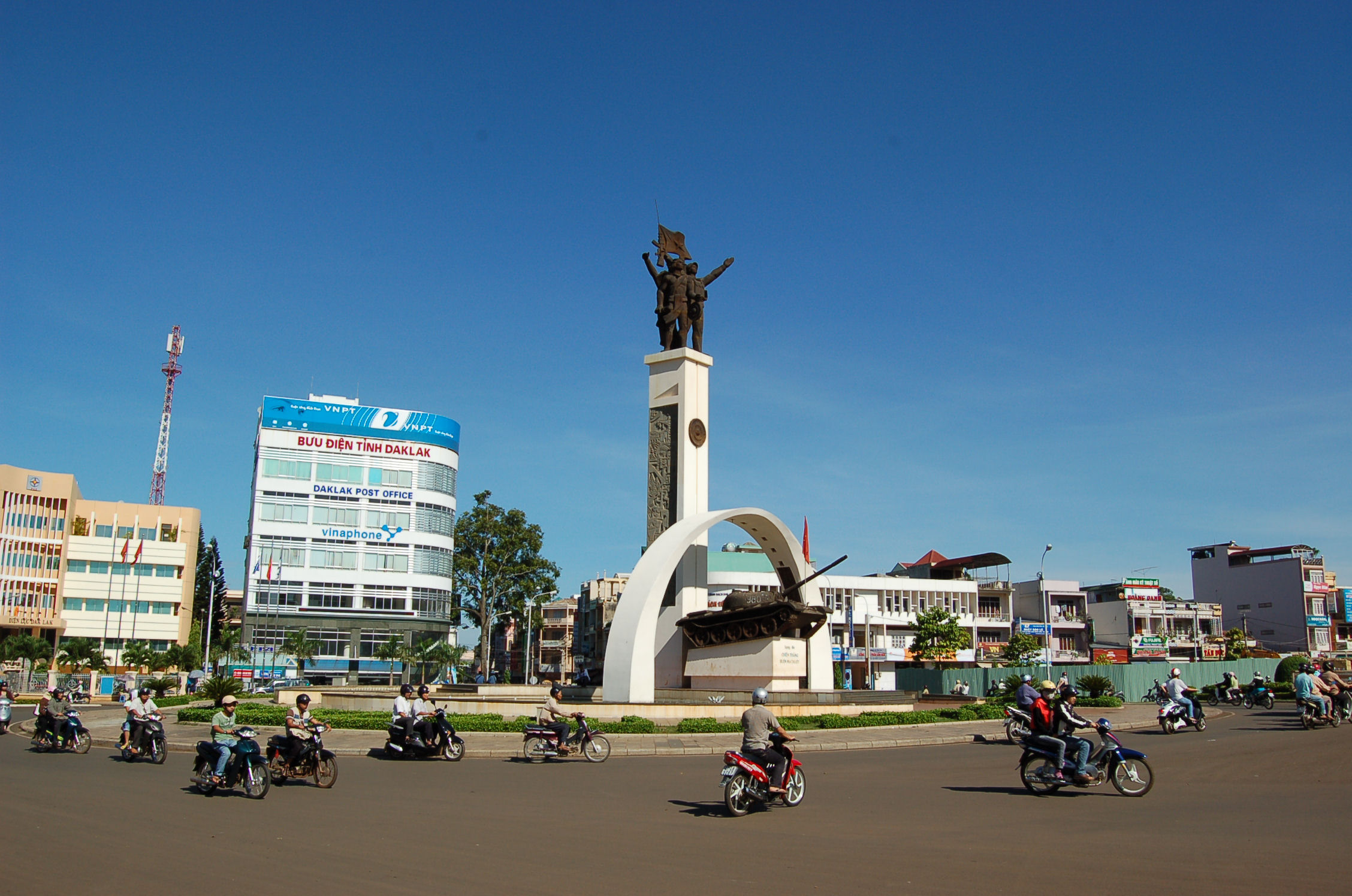
Tiếng Việt: Ngã sáu Ban Mê - ISO VN-E-DL
Français : Place principale de la ville de Buôn Ma Thuột (Central Highlands, Vietnam) - ISO code VN-E-DL
English: Buôn Ma Thuột city square (Central Highlands, Vietnam) - ISO code VN-E-DL |
| Dät | |
| Fon |
Vobot okik
|
| Lautan | Rdavout |
| Object location | | View this and other nearby images on: OpenStreetMap |
|---|
Dälastad
I, the copyright holder of this work, hereby publish it under the following licenses:
This file is licensed under the Creative Commons Attribution-Share Alike 3.0 Unported license.
- Binol libik:
- to share – to copy, distribute and transmit the work
- to remix – to adapt the work
- Under the following conditions:
- attribution – You must give appropriate credit, provide a link to the license, and indicate if changes were made. You may do so in any reasonable manner, but not in any way that suggests the licensor endorses you or your use.
- share alike – If you remix, transform, or build upon the material, you must distribute your contributions under the same or compatible license as the original.

|
Däl pagevon ad kopiedön, seagivön e/u votükön dokümi at ma Dälazöt ad Dokümam Libik: GNU, Fomam: 1.2 u nulikum fa el Free Software Foundation (Stitod: Nünömaprograms libik); nen diläds nevotükovik, nen vödems tegapada balid, e leigo nen vödems tegapada lätik. Kopied dälazöta pekeninon in diläd: Dälazöt ad Dokümam Libik: GNU panemöl. |
You may select the license of your choice.
Jenotem ragiva
Välolös däti/timi ad logön ragivi soäsä äbinon ün tim at.
| Dät/Tim | Magodil | Mafots | Geban | Küpet | |
|---|---|---|---|---|---|
| anuik | 19:27, 2009 mayul 1id | | 2,256 × 1,496 (517 KB) | Rdavout | {{Information |Description=Originals by Renaud d'Avout d'Auerstaedt (http://renaud.davout.org/), registered wikipedian (rdavout) and/or Hélène Gauche. {{vi|1=Ngã sáu Ban Mê - ISO VN-E-DL}} {{fr|1=Place principale de la ville de Buôn Ma Thuột (Cent |
Yüms
Pads sököl payümons ko pad at:
Ragivigeb Valöpik
The following other wikis use this file:
- Geb su ar.wikipedia.org
- Geb su az.wikipedia.org
- Geb su bg.wikipedia.org
- Geb su bi.wikipedia.org
- Geb su ceb.wikipedia.org
- Geb su cs.wikipedia.org
- Geb su de.wikipedia.org
- Geb su diq.wikipedia.org
- Geb su en.wikipedia.org
- Geb su en.wikivoyage.org
- Geb su eo.wikipedia.org
- Geb su es.wikipedia.org
- Geb su fa.wikipedia.org
- Geb su fo.wikipedia.org
- Geb su fr.wikipedia.org
- Geb su hak.wikipedia.org
- Geb su he.wikipedia.org
- Geb su ht.wikipedia.org
- Geb su hu.wikipedia.org
- Geb su hy.wikipedia.org
- Geb su it.wikipedia.org
- Geb su it.wikivoyage.org
- Geb su kab.wikipedia.org
- Geb su ko.wikipedia.org
- Geb su lg.wikipedia.org
- Geb su lmo.wikipedia.org
- Geb su lt.wikipedia.org
- Geb su nl.wikipedia.org
- Geb su no.wikipedia.org
- Geb su pl.wikipedia.org
- Geb su pt.wikipedia.org
- Geb su ru.wikipedia.org
- Geb su sg.wikipedia.org
- Geb su sr.wikipedia.org
- Geb su th.wikipedia.org
- Geb su tl.wikipedia.org
- Geb su tr.wikipedia.org
- Geb su tt.wikipedia.org
- Geb su uk.wikipedia.org
- Geb su ur.wikipedia.org
- Geb su vi.wikipedia.org
- Geb su war.wikipedia.org
- Geb su www.wikidata.org
- Geb su xmf.wikipedia.org
View more global usage of this file.