
Ragiv:Chiesa di Tabiago.jpg

Size of this preview: 744 × 599 pixels. Other resolutions: 298 × 240 pixels • 596 × 480 pixels • 953 × 768 pixels • 1,271 × 1,024 pixels • 2,542 × 2,048 pixels • 3,068 × 2,472 pixels.
Ragiv rigik (3,068 × 2,472 pixel, ragivagret: 4.02 MB, pated MIME: image/jpeg)
Plän brefik
| Bepenam |
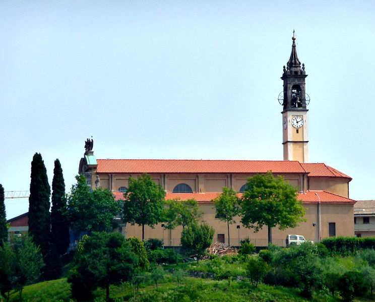
Italiano: Chiesa di Tabiago, mia foto |
| Dät | 24 yanul 2011 (original upload date) |
| Fon | Transferred from it.wikipedia to Commons. |
| Lautan | ExtremeDrew at Litaliyänapük Vükiped |
| Camera location | | View this and other nearby images on: OpenStreetMap |
|---|
Dälastad
| This work has been released into the public domain by its author, ExtremeDrew at Litaliyänapük Vükiped. This applies worldwide. In some countries this may not be legally possible; if so: ExtremeDrew grants anyone the right to use this work for any purpose, without any conditions, unless such conditions are required by law. |
Original upload log
The original description page was here. All following user names refer to it.wikipedia.
| Dät/Tim | Mafots | Geban | Küpet |
|---|---|---|---|
| 2011-01-24 14:59 | 3068×2472× (4213780 bytes) | ExtremeDrew | Chiesa di Tabiago, mia foto |
Jenotem ragiva
Välolös däti/timi ad logön ragivi soäsä äbinon ün tim at.
| Dät/Tim | Magodil | Mafots | Geban | Küpet | |
|---|---|---|---|---|---|
| anuik | 06:51, 2015 yanul 31id | | 3,068 × 2,472 (4.02 MB) | BokicaK | Transferred from it.wikipedia |
Yüms
Pads sököl payümons ko pad at:
Ragivigeb Valöpik
The following other wikis use this file:
- Geb su bg.wikipedia.org
- Geb su br.wikipedia.org
- Geb su ceb.wikipedia.org
- Geb su ce.wikipedia.org
- Geb su el.wikipedia.org
- Geb su eo.wikipedia.org
- Geb su es.wikipedia.org
- Geb su eu.wikipedia.org
- Geb su fr.wikipedia.org
- Geb su hu.wikipedia.org
- Geb su hy.wikipedia.org
- Geb su ia.wikipedia.org
- Geb su it.wikipedia.org
- Geb su ja.wikipedia.org
- Geb su lij.wikipedia.org
- Geb su lld.wikipedia.org
- Geb su pl.wikipedia.org
- Geb su pms.wikipedia.org
- Geb su roa-tara.wikipedia.org
- Geb su ro.wikipedia.org
- Geb su ru.wikipedia.org
- Geb su sr.wikipedia.org
- Geb su sv.wikipedia.org
- Geb su tl.wikipedia.org
- Geb su tt.wikipedia.org
- Geb su uk.wikipedia.org
- Geb su uz.wikipedia.org
- Geb su vec.wikipedia.org
- Geb su www.wikidata.org
- Geb su zh-min-nan.wikipedia.org