
Ragiv:Ferlach Rosental und Ferlacher Horn 01082004 01.jpg

Size of this preview: 800 × 532 pixels. Other resolutions: 320 × 213 pixels • 640 × 426 pixels • 1,024 × 681 pixels • 1,280 × 851 pixels • 3,008 × 2,000 pixels.
Ragiv rigik (3,008 × 2,000 pixel, ragivagret: 1.46 MB, pated MIME: image/jpeg)
Plän brefik
| Bepenam |
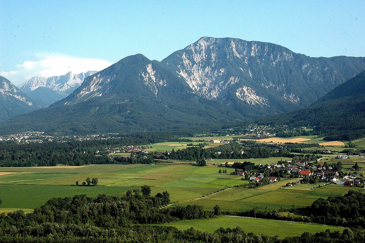
English: View of Kirschentheuer, Sechter and Ferlacher Horn, municipality Ferlach, district Klagenfurt Land, Carinthia, Austria, EU
Deutsch: Blick auf Kirschentheuer, den Sechter und das Ferlacher Horn, Stadtgemeinde Ferlach, Bezirk Klagenfurt Land, Kärnten, Österreich, EU
Ferlacher Horn, Carinthia, Austria |
| Dät | |
| Fon | Vobot okik |
| Lautan | Johann Jaritz |
| Camera location | | View this and other nearby images on: OpenStreetMap |
|---|
Dälastad
Johann Jaritz, the copyright holder of this work, hereby publishes it under the following license:
This file is licensed under the Creative Commons Attribution-Share Alike 4.0 International license.
Attribution: Johann Jaritz / CC BY-SA 4.0
- Binol libik:
- to share – to copy, distribute and transmit the work
- to remix – to adapt the work
- Under the following conditions:
- attribution – You must give appropriate credit, provide a link to the license, and indicate if changes were made. You may do so in any reasonable manner, but not in any way that suggests the licensor endorses you or your use.
- share alike – If you remix, transform, or build upon the material, you must distribute your contributions under the same or compatible license as the original.
Modifications
|
|
Please do not upload a modified image here without consultation with the Author. The author would like to make corrections only at his own source. This ensures that the changes are preserved. |

| Annotations | This image is annotated: View the annotations at Commons |
Jenotem ragiva
Välolös däti/timi ad logön ragivi soäsä äbinon ün tim at.
| Dät/Tim | Magodil | Mafots | Geban | Küpet | |
|---|---|---|---|---|---|
| anuik | 11:19, 2006 yunul 14id | | 3,008 × 2,000 (1.46 MB) | Johann Jaritz | {{Information| |Description=Ferlacher Horn, Carinthia, Austria |Source=Own work |Date=August 1st, 2004 |Author=Johann Jaritz |Permission=Johann Jaritz |other_versions=Bild-GFDL }} |
Yüms
Pads sököl payümons ko pad at:
Ragivigeb Valöpik
The following other wikis use this file:
- Geb su ca.wikipedia.org
- Geb su ceb.wikipedia.org
- Geb su ce.wikipedia.org
- Geb su de.wikipedia.org
- Geb su en.wikipedia.org
- Geb su eo.wikipedia.org
- Geb su es.wikipedia.org
- Geb su et.wikipedia.org
- Geb su fa.wikipedia.org
- Geb su fr.wikipedia.org
- Geb su it.wikipedia.org
- Geb su lld.wikipedia.org
- Geb su lmo.wikipedia.org
- Geb su no.wikipedia.org
- Geb su pl.wikipedia.org
- Geb su pl.wikivoyage.org
- Geb su ru.wikipedia.org
- Geb su simple.wikipedia.org
- Geb su sl.wikipedia.org
- Geb su sr.wikipedia.org
- Geb su tt.wikipedia.org
- Geb su uk.wikipedia.org
- Geb su uz.wikipedia.org
- Geb su vec.wikipedia.org
- Geb su www.wikidata.org
- Geb su zh.wikipedia.org