
Ragiv:Grenade - Halle - Exterieur.jpg
Size of this preview: 800 × 460 pixels. Other resolutions: 320 × 184 pixels • 640 × 368 pixels • 1,024 × 588 pixels • 1,280 × 735 pixels • 2,560 × 1,471 pixels • 7,360 × 4,228 pixels.
Ragiv rigik (7,360 × 4,228 pixel, ragivagret: 19.88 MB, pated MIME: image/jpeg)
Plän brefik
|
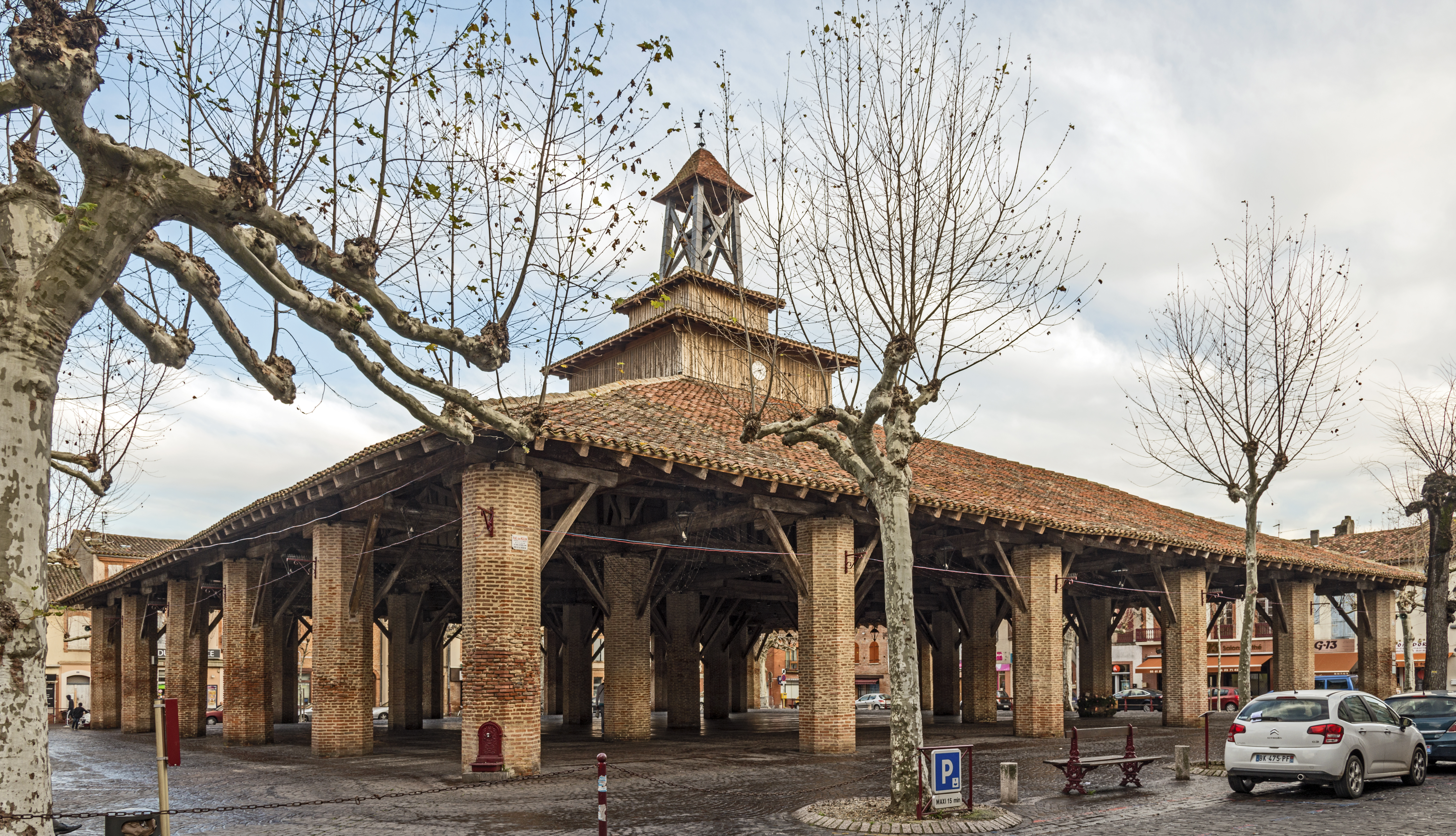
The covered market "Jean Moulin". XIV century - Grenade, Haute-Garonne | |||||||||||||||||||
|
| |||||||||||||||||||

Jenotem ragiva
Välolös däti/timi ad logön ragivi soäsä äbinon ün tim at.
| Dät/Tim | Magodil | Mafots | Geban | Küpet | |
|---|---|---|---|---|---|
| anuik | 17:28, 2016 yanul 9id | | 7,360 × 4,228 (19.88 MB) | Archaeodontosaurus | New version |
| 14:28, 2013 setul 4id |  | 6,181 × 4,497 (14.79 MB) | Archaeodontosaurus | {{Information |Description ={{en|1=x}} |Source ={{own}} |Author =Archaeodontosaurus |Date = |Permission = |other_versions = }} |
Yüms
Pads sököl payümons ko pad at:
Ragivigeb Valöpik
The following other wikis use this file:
- Geb su an.wikipedia.org
- Geb su br.wikipedia.org
- Geb su bug.wikipedia.org
- Geb su ca.wikipedia.org
- Geb su ceb.wikipedia.org
- Geb su ce.wikipedia.org
- Geb su cs.wikipedia.org
- Geb su de.wikipedia.org
- Geb su en.wikipedia.org
- Geb su es.wikipedia.org
- Geb su eu.wikipedia.org
- Geb su fi.wikipedia.org
- Geb su fr.wikipedia.org
- Geb su hu.wikipedia.org
- Geb su it.wikipedia.org
- Geb su ms.wikipedia.org
- Geb su oc.wikipedia.org
- Geb su pl.wikipedia.org
- Geb su ro.wikipedia.org
- Geb su ru.wikipedia.org
- Geb su simple.wikipedia.org
- Geb su sq.wikipedia.org
- Geb su sv.wikipedia.org
- Geb su tt.wikipedia.org
- Geb su uk.wikipedia.org
- Geb su vi.wikipedia.org
- Geb su war.wikipedia.org
- Geb su www.wikidata.org
- Geb su zh-min-nan.wikipedia.org
- Geb su zh.wikipedia.org