
Ragiv:Kehra linn.JPG
Size of this preview: 800 × 278 pixels. Other resolutions: 320 × 111 pixels • 640 × 222 pixels • 1,024 × 355 pixels • 1,280 × 444 pixels • 3,122 × 1,083 pixels.
Ragiv rigik (3,122 × 1,083 pixel, ragivagret: 620 KB, pated MIME: image/jpeg)
Plän brefik
| Bepenam |
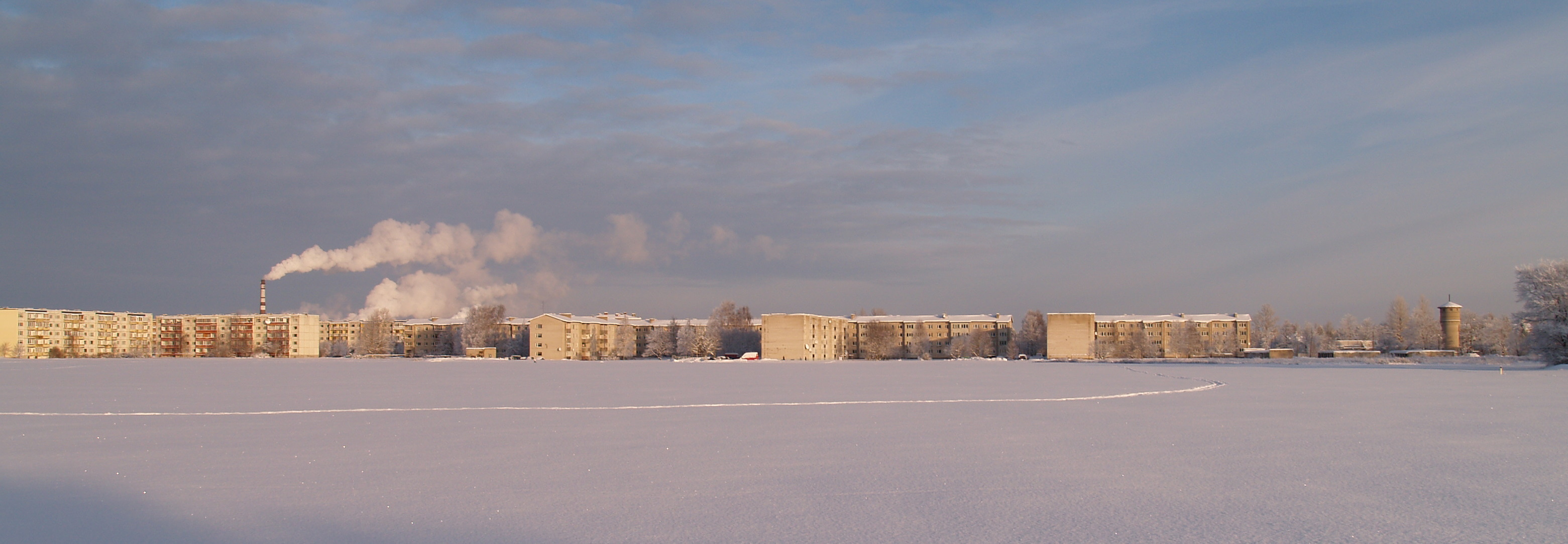
Eesti: Talvine Kehra linn vaadatuna Kose–Jägala maanteelt. |
| Dät | |
| Fon | Vobot okik |
| Lautan | Ivo Kruusamägi |
| Camera location | | View this and other nearby images on: OpenStreetMap |
|---|
Dälastad
I, the copyright holder of this work, hereby publish it under the following license:
This file is licensed under the Creative Commons Attribution-Share Alike 3.0 Unported license.
- Binol libik:
- to share – to copy, distribute and transmit the work
- to remix – to adapt the work
- Under the following conditions:
- attribution – You must give appropriate credit, provide a link to the license, and indicate if changes were made. You may do so in any reasonable manner, but not in any way that suggests the licensor endorses you or your use.
- share alike – If you remix, transform, or build upon the material, you must distribute your contributions under the same or compatible license as the original.
Jenotem ragiva
Välolös däti/timi ad logön ragivi soäsä äbinon ün tim at.
| Dät/Tim | Magodil | Mafots | Geban | Küpet | |
|---|---|---|---|---|---|
| anuik | 10:10, 2012 yulul 12id | 3,122 × 1,083 (620 KB) | Kruusamägi |
Yüms
Pads sököl payümons ko pad at:
Ragivigeb Valöpik
The following other wikis use this file:
- Geb su az.wikipedia.org
- Geb su bat-smg.wikipedia.org
- Geb su be.wikipedia.org
- Geb su ceb.wikipedia.org
- Geb su da.wikipedia.org
- Geb su es.wikipedia.org
- Geb su et.wikipedia.org
- Geb su eu.wikipedia.org
- Geb su fa.wikipedia.org
- Geb su fi.wikipedia.org
- Geb su fr.wikipedia.org
- Geb su la.wikipedia.org
- Geb su mhr.wikipedia.org
- Geb su nl.wikipedia.org
- Geb su ru.wikipedia.org
- Geb su sco.wikipedia.org
- Geb su sr.wikipedia.org
- Geb su sv.wikipedia.org
- Geb su tr.wikipedia.org
- Geb su vep.wikipedia.org
- Geb su www.wikidata.org