
Ragiv:Map of Alaska highlighting Yukon-Koyukuk Census Area.svg

Size of this PNG preview of this SVG file: 800 × 423 pixels. Other resolutions: 320 × 169 pixels • 640 × 338 pixels • 1,024 × 541 pixels • 1,280 × 677 pixels • 2,560 × 1,353 pixels • 1,470 × 777 pixels.
Ragiv rigik (ragiv in fomät: SVG, magodaziöbs 1,470 × 777, gretot: 338 KB)

|
This file requires updating. In doing so, you could add a timestamp to the file.
|
Plän brefik
| Bepenam |
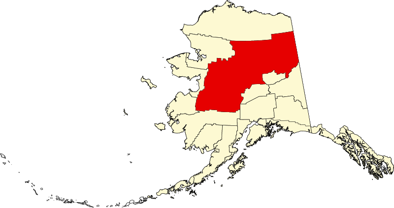
English: This is a locator map showing Yukon-Koyukuk Census Area in Alaska |
| Dät | |
| Fon |
Vobot okik: English: The maps use data from nationalatlas.gov, specifically countyp020.tar.gz on the Raw Data Download page. The maps also use state outline data from statesp020.tar.gz. The Florida maps use hydrogm020.tar.gz to display Lake Okeechobee. |
| Lautan | David Benbennick |
| SVG genesis |
Dälastad
| I, the copyright holder of this work, release this work into the public domain. This applies worldwide. In some countries this may not be legally possible; if so: I grant anyone the right to use this work for any purpose, without any conditions, unless such conditions are required by law. |
Jenotem ragiva
Välolös däti/timi ad logön ragivi soäsä äbinon ün tim at.
| Dät/Tim | Magodil | Mafots | Geban | Küpet | |
|---|---|---|---|---|---|
| anuik | 19:30, 2006 mäzul 5id | | 1,470 × 777 (338 KB) | David Benbennick | {{subst:User:Dbenbenn/clm|county=Yukon-Koyukuk Census Area|state=Alaska|type=borough and census area}} |
Yüms
Pads nonik peyümons ad ragiv at.
Ragivigeb Valöpik
The following other wikis use this file:
- Geb su av.wikipedia.org
- Geb su bpy.wikipedia.org
- Geb su ca.wikipedia.org
- Tanana (Alaska)
- Huslia
- Central (Alaska)
- Alatna
- Allakaket
- Anvik
- Arctic Village
- Beaver (Alaska)
- Bettles
- Birch Creek
- Chalkyitsik
- Circle (Alaska)
- Coldfoot
- Evansville (Alaska)
- Fort Yukon
- Four Mile Road
- Galena (Alaska)
- Grayling (Alaska)
- Holy Cross (Alaska)
- Hughes (Alaska)
- Kaltag
- Koyukuk
- Lake Minchumina
- Livengood
- Manley Hot Springs
- Minto (Alaska)
- Nenana
- New Allakaket
- Nikolai (Alaska)
- Nulato
- Rampart
- Ruby (Alaska)
- Shageluk
- Stevens Village
- Takotna
- Venetie (Alaska)
- Wiseman
- Plantilla:Àrea censal de Yukon-Koyukuk
- Categoria:Àrea censal de Yukon-Koyukuk
- Llista de boroughs i àrees censals d'Alaska
- Geb su ce.wikipedia.org
- Geb su de.wikipedia.org
- Geb su en.wikipedia.org
View more global usage of this file.