
Ragiv:St Johns Burford Geograph-3658399-by-Dave-Hitchborne.jpg
Gretot gudikum no pagebidon.
St_Johns_Burford_Geograph-3658399-by-Dave-Hitchborne.jpg (640 × 426 pixel, ragivagret: 65 KB, pated MIME: image/jpeg)
Plän brefik
| Bepenam |
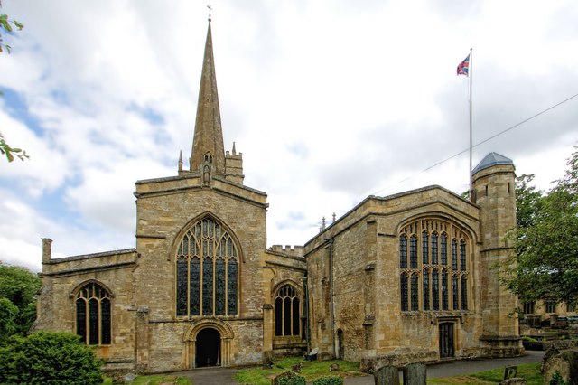
English: The Church of St John the Baptist, Burford |
| Dät | |
| Fon | From geograph.org.uk |
| Lautan | Dave Hitchborne |
| Däl (Reusing this file) |
Creative Commons Attribution Share-alike license 2.0 |
| Attribution (required by the license) | Dave Hitchborne / The Church of St John the Baptist, Burford / |
| Camera location | | View this and other nearby images on: OpenStreetMap |
|---|
This is a photo of listed building number 1053287. |
Dälastad

|
This image was taken from the Geograph project collection. See this photograph's page on the Geograph website for the photographer's contact details. The copyright on this image is owned by Dave Hitchborne and is licensed for reuse under the Creative Commons Attribution-ShareAlike 2.0 license.
|
This file is licensed under the Creative Commons Attribution-Share Alike 2.0 Generic license.
Attribution: Dave Hitchborne
- Binol libik:
- to share – to copy, distribute and transmit the work
- to remix – to adapt the work
- Under the following conditions:
- attribution – You must give appropriate credit, provide a link to the license, and indicate if changes were made. You may do so in any reasonable manner, but not in any way that suggests the licensor endorses you or your use.
- share alike – If you remix, transform, or build upon the material, you must distribute your contributions under the same or compatible license as the original.
Jenotem ragiva
Välolös däti/timi ad logön ragivi soäsä äbinon ün tim at.
| Dät/Tim | Magodil | Mafots | Geban | Küpet | |
|---|---|---|---|---|---|
| anuik | 17:32, 2013 dekul 12id | | 640 × 426 (65 KB) | Dave.Dunford | == {{int:filedesc}} == {{Information |Description={{en|1=The Church of St John the Baptist, Burford}} |Source=From [http://www.geograph.org.uk/photo/3658399 geograph.org.uk] |Date=2013-06-14 |Author=[http://www.geograph.org.uk/profile/4330 Dave Hitchbo... |
Yüms
Pads sököl payümons ko pad at:
Ragivigeb Valöpik
The following other wikis use this file:
- Geb su arz.wikipedia.org
- Geb su en.wikipedia.org
- Geb su uk.wikipedia.org
- Geb su www.wikidata.org