
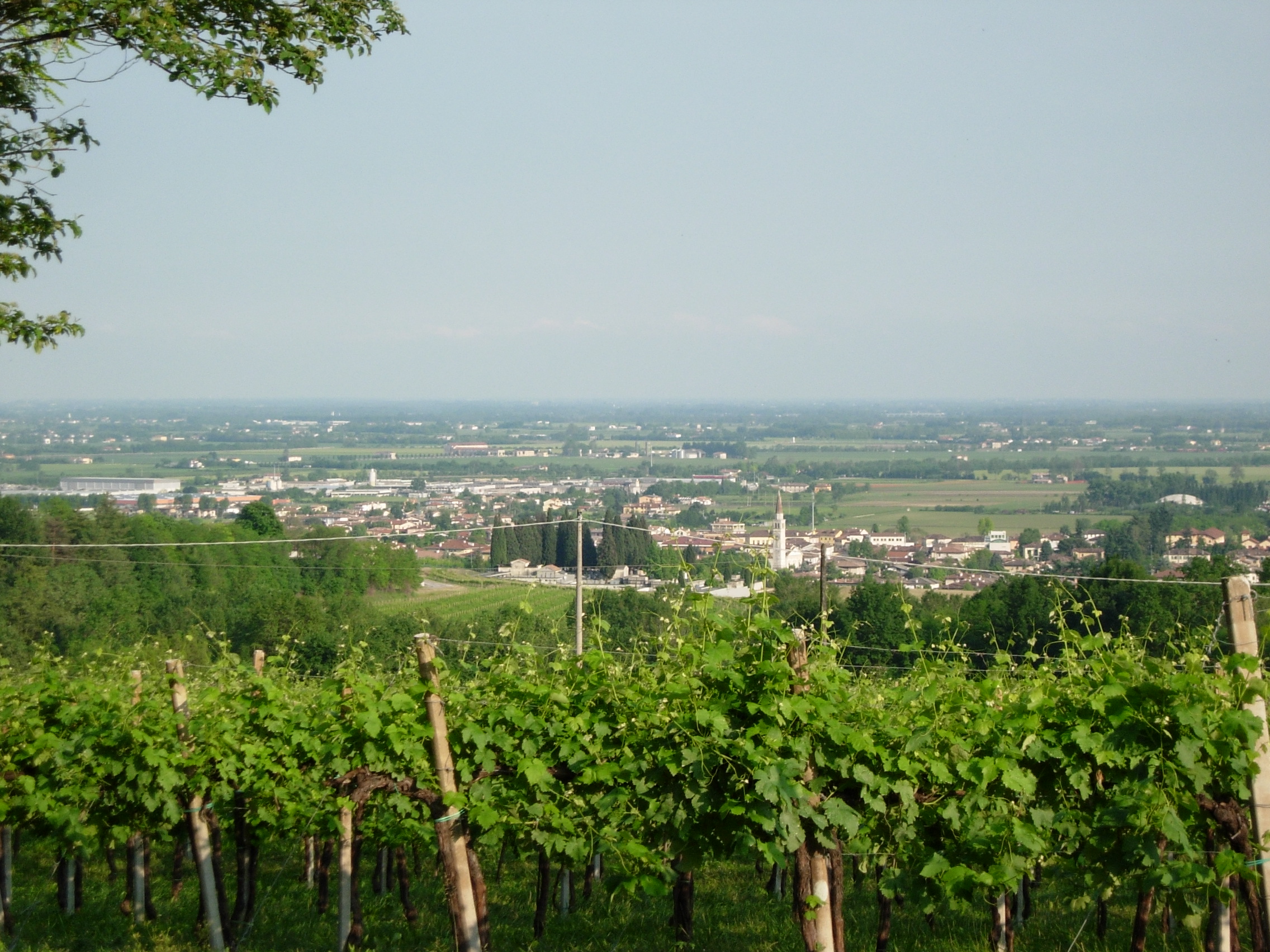
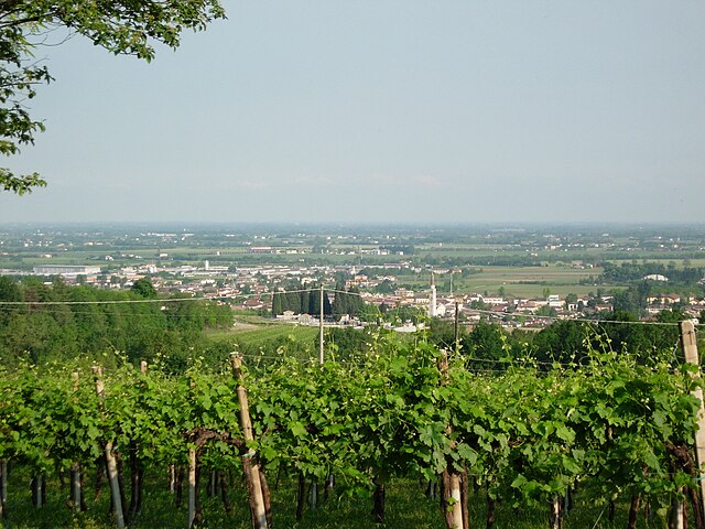
Ragiv:SuseganaFromHills.jpg
Size of this preview: 800 × 600 pixels. Other resolutions: 320 × 240 pixels • 640 × 480 pixels • 1,024 × 768 pixels • 1,280 × 960 pixels • 2,272 × 1,704 pixels.
Ragiv rigik (2,272 × 1,704 pixel, ragivagret: 1.24 MB, pated MIME: image/jpeg)
Plän brefik
| Bepenam | Center of Susegana town seen from the hills |
| Dät | |
| Fon | Vobot okik |
| Lautan | Gerlo |
| Däl (Reusing this file) |
no permission needed |
| Camera location | | View this and other nearby images on: OpenStreetMap |
|---|
Dälastad
| I, the copyright holder of this work, release this work into the public domain. This applies worldwide. In some countries this may not be legally possible; if so: I grant anyone the right to use this work for any purpose, without any conditions, unless such conditions are required by law. |
Jenotem ragiva
Välolös däti/timi ad logön ragivi soäsä äbinon ün tim at.
| Dät/Tim | Magodil | Mafots | Geban | Küpet | |
|---|---|---|---|---|---|
| anuik | 13:43, 2008 mayul 25id | | 2,272 × 1,704 (1.24 MB) | Gerlo | {{Information |Description=Center of Susegana town seen from the hills |Source=self-made |Date=2008-05-24 |Author= Gerlo |Permission=no permission needed |other_versions= }} {{Coor dms|45|52|23.5|N|12|11|57.5|E}} {{Location|45|52|23.5|N|12 |
Yüms
Pads sököl payümons ko pad at:
Ragivigeb Valöpik
The following other wikis use this file:
- Geb su ar.wikipedia.org
- Geb su bg.wikipedia.org
- Geb su br.wikipedia.org
- Geb su ceb.wikipedia.org
- Geb su ce.wikipedia.org
- Geb su el.wikipedia.org
- Geb su en.wikipedia.org
- Geb su es.wikipedia.org
- Geb su eu.wikipedia.org
- Geb su fr.wikipedia.org
- Geb su hu.wikipedia.org
- Geb su hy.wikipedia.org
- Geb su ia.wikipedia.org
- Geb su it.wikipedia.org
- Geb su it.wikivoyage.org
- Geb su ja.wikipedia.org
- Geb su lld.wikipedia.org
- Geb su lmo.wikipedia.org
- Geb su nl.wikipedia.org
- Geb su pl.wikipedia.org
- Geb su pms.wikipedia.org
- Geb su pt.wikipedia.org
- Geb su roa-tara.wikipedia.org
- Geb su ro.wikipedia.org
- Geb su ru.wikipedia.org
- Geb su sr.wikipedia.org
- Geb su sv.wikipedia.org
- Geb su tr.wikipedia.org
- Geb su tt.wikipedia.org
- Geb su uk.wikipedia.org
- Geb su uz.wikipedia.org
- Geb su vec.wikipedia.org
- Geb su www.wikidata.org
- Geb su zh-min-nan.wikipedia.org
- Geb su zh.wikipedia.org