
Ragiv:Canvey Island OSM map 2010.jpg

Size of this preview: 778 × 599 pixels. Other resolutions: 312 × 240 pixels • 623 × 480 pixels • 997 × 768 pixels • 1,062 × 818 pixels.
Ragiv rigik (1,062 × 818 pixel, ragivagret: 141 KB, pated MIME: image/jpeg)
| Bepenam |
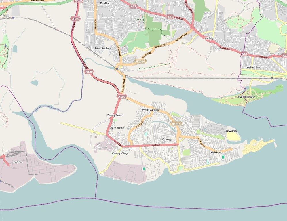
English: Map of Canvey Island (Essex, United Kingdom) and its surrounding areas. |
| Dät | |
| Fon | OpenStreetMap |
| Lautan | The OpenStreetMap Project. |
| Däl (Reusing this file) |
This file is licensed under the Creative Commons Attribution 2.0 Generic license.
|
Jenotem ragiva
Välolös däti/timi ad logön ragivi soäsä äbinon ün tim at.
| Dät/Tim | Magodil | Mafots | Geban | Küpet | |
|---|---|---|---|---|---|
| anuik | 16:14, 2010 yunul 2id | | 1,062 × 818 (141 KB) | Oneblackline | {{Information |Description={{en|1=Map of Canvey Island (Essex, United Kingdom) and its surrounding areas.}} |Source=[http://www.openstreetmap.org/?lat=51.5311&lon=0.5752&zoom=13&layers=B000FTFT OpenStreetMap] |Author=The OpenStreetMap |
Yüms
Pads sököl payümons ko pad at:
Ragivigeb Valöpik
The following other wikis use this file:
- Geb su arz.wikipedia.org
- Geb su azb.wikipedia.org
- Geb su ceb.wikipedia.org
- Geb su en.wikipedia.org
- Geb su et.wikipedia.org
- Geb su fa.wikipedia.org
- Geb su lld.wikipedia.org
- Geb su pl.wikipedia.org
- Geb su sh.wikipedia.org
- Geb su te.wikipedia.org
- Geb su www.wikidata.org
- Geb su yi.wikipedia.org
- Geb su zh.wikipedia.org