
Ragiv:Westgate's West Bay.jpg
Gretot gudikum no pagebidon.
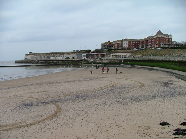
Westgate's_West_Bay.jpg (640 × 480 pixel, ragivagret: 82 KB, pated MIME: image/jpeg)
| Bepenam |
English: Westgate Bay, Westgate-on-Sea, Kent, England |
| Dät | |
| Fon | From geograph.org.uk |
| Lautan | Rick Ryder |
| Däl (Reusing this file) |
Creative Commons Attribution Share-alike license 2.0 |
| Attribution (required by the license) | Rick Ryder / Westgate Bay / |
| Camera location | | View this and other nearby images on: OpenStreetMap |
|---|

|
This image was taken from the Geograph project collection. See this photograph's page on the Geograph website for the photographer's contact details. The copyright on this image is owned by Rick Ryder and is licensed for reuse under the Creative Commons Attribution-ShareAlike 2.0 license.
|
This file is licensed under the Creative Commons Attribution-Share Alike 2.0 Generic license.
Attribution: Rick Ryder
- Binol libik:
- to share – to copy, distribute and transmit the work
- to remix – to adapt the work
- Under the following conditions:
- attribution – You must give appropriate credit, provide a link to the license, and indicate if changes were made. You may do so in any reasonable manner, but not in any way that suggests the licensor endorses you or your use.
- share alike – If you remix, transform, or build upon the material, you must distribute your contributions under the same or compatible license as the original.
Original upload log
The original description page was here. All following user names refer to en.wikipedia.
- 2007-05-19 22:58 Epbr123 640×480× (83590 bytes) Obtained from https://www.geograph.org.uk/photo/323787 Image placed under the Creative Commons Attribution-ShareAlike License by its owner, Rick Ryder .
Jenotem ragiva
Välolös däti/timi ad logön ragivi soäsä äbinon ün tim at.
| Dät/Tim | Magodil | Mafots | Geban | Küpet | |
|---|---|---|---|---|---|
| anuik | 11:31, 2008 novul 7id | | 640 × 480 (82 KB) | Angusmclellan | {{Information |Description={{en|Westgate Bay, Westgate-on-Sea, Kent, England}} |Source=From [http://www.geograph.org.uk/photo/323787 geograph.org.uk] |Date=2006-01-22 |Author=[http://www.geograph.org.uk/profile/10343 Rick Ryder] |Permission=Creative Commo |
Yüms
Pads sököl payümons ko pad at:
Ragivigeb Valöpik
The following other wikis use this file:
- Geb su ar.wikipedia.org
- Geb su arz.wikipedia.org
- Geb su ceb.wikipedia.org
- Geb su cy.wikipedia.org
- Geb su de.wikipedia.org
- Geb su en.wikipedia.org
- Geb su fa.wikipedia.org
- Geb su fr.wikipedia.org
- Geb su ga.wikipedia.org
- Geb su it.wikipedia.org
- Geb su ko.wikipedia.org
- Geb su lld.wikipedia.org
- Geb su nl.wikipedia.org
- Geb su pl.wikipedia.org
- Geb su sv.wikipedia.org
- Geb su www.wikidata.org
- Geb su zh.wikipedia.org