
Ragiv:Flag map of England.svg

Size of this PNG preview of this SVG file: 484 × 600 pixels. Votik(s) magodadensitöfs: 194 × 240 pixels • 387 × 480 pixels • 620 × 768 pixels • 826 × 1,024 pixels • 1,653 × 2,048 pixels • 485 × 601 pixels.
Ragiv rigik (ragiv in fomät: SVG, magodaziöbs 485 × 601, gretot: 101 KB)
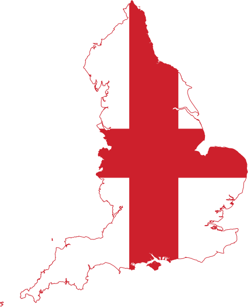
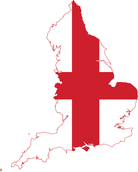
| Bepenam | Flag Map of England |
| Dät | (UTC) |
| Fon | |
| Lautan |
|
Nüned at pegebidükon bai dälazöt: ‚Creative Commons’ Attribution-Share Alike 3.0 Unported.
- Binol libik:
- gevön ad kobädadalab – kopiedön, pakön e lovegivön voboti
- votabevobön – lönedükön voboti
- Bai stips sököl:
- dut – Mutol nunön lautanagitätanüni pötöfik, gevön yümi lä dälazöt e mäkön, üf votükams pädunons. Dalol dunön osi ön mod suemovik alik, ab no ön mod alseimik ut, kel tikodükon, äsif gitätan bai dälazöt lobülon-la oli u gebi olik.
- paköl ön mod ot – If votabevobol, votafomol u lölöfükol materi, mutol pakön keblünotis olik asä rigädikis bai stips ela same or compatible license.
Uploaded with derivativeFX
Jenotem ragiva
Välolös däti/timi ad logön ragivi soäsä äbinon ün tim at.
| Dät/Tim | Magodil | Mafots | Geban | Küpet | |
|---|---|---|---|---|---|
| anuik | 23:19, 2016 yulul 13id | | 485 × 601 (101 KB) | Stasyan117 | +smaller islands |
| 17:41, 2016 mayul 1id |  | 518 × 640 (41 KB) | BurritoBazooka | (minor) adjust colour ever so slightly to be the same as the Flag of England file | |
| 16:52, 2016 mayul 1id |  | 518 × 640 (41 KB) | BurritoBazooka | make page a little smaller (in pixels) | |
| 16:45, 2016 mayul 1id |  | 525 × 650 (45 KB) | BurritoBazooka | clean up unused defs | |
| 15:52, 2016 mayul 1id |  | 525 × 650 (292 KB) | BurritoBazooka | forgot to delete some cruft outside the page limit | |
| 15:49, 2016 mayul 1id |  | 525 × 650 (323 KB) | BurritoBazooka | include islands which fall under England's administrative region, such as Isle of Wight. Reproduced from the regions map, and the flag shape used in this image. | |
| 10:48, 2014 yunul 21id |  | 448 × 595 (83 KB) | AnonMoos | simplify | |
| 20:50, 2011 yanul 25id |  | 699 × 930 (103 KB) | Fry1989 | {{Information |Description=Flag Map of England |Source=*File:Flag_of_England.svg *File:England_location_map.svg |Date=2011-01-25 20:41 (UTC) |Author=*File:Flag_of_England.svg: *File:England_location_map.svg: *[[:File:United_Kingdo |
Yüms
Pads nonik peyümons ad nüned at.
Ragivigeb Valöpik
Proyegs votik sököl di ‚wiki’ gebons nünedi at:
- Geb su ar.wikipedia.org
- باث
- كانتربيري
- نورتش
- هيستينغز
- دوفر
- نوتنغهام
- كنت
- مقاطعة سومرست (إنجلترا)
- ديفون
- كورنوال
- لنكولنشاير
- نورفك
- أكسفوردشير
- نورثمبرلاند
- إسكس
- سوفولك
- شرق ساسكس
- غرب ساسكس
- جنوب يوركشير
- دورست
- غلوسترشير
- باركشير
- بيدفوردشير
- باكينغهامشير
- هايغيت (لندن)
- سانت ألبانز
- نابتون
- ميدريج
- بيدفورد
- أولني
- بروسلي
- كينغزبري
- هولوواي (لندن)
- تاين ووير
- نهر كام
- تريسكو
- بوسطن (إنجلترا)
- جزر القناة الإنجليزية
- وركشير
- ساسكس
- كان (إنجلترا)
- مانشستر الكبرى
- يوركشاير
- قالب:بذرة جغرافيا إنجلترا
- ويسبري (ويلتشاير)
- واتن
- نوتنغهامشير
- براد اون افون
- تشبنهام
- بارنسلي
Jonön mödikumosi dö geb valemik nüneda at.