
Ragiv:Canada Ontario location map 2.svg

Size of this PNG preview of this SVG file: 526 × 599 pixels. Other resolutions: 211 × 240 pixels • 421 × 480 pixels • 674 × 768 pixels • 899 × 1,024 pixels • 1,798 × 2,048 pixels • 2,032 × 2,314 pixels.
Ragiv rigik (ragiv in fomät: SVG, magodaziöbs 2,032 × 2,314, gretot: 1.4 MB)
Plän brefik
| Bepenam |
Quadratische Plattkarte, N-S-Streckung 155 %. Geographische Begrenzung der Karte:
Equirectangular projection, N/S stretching 155 %. Geographic limits of the map:
|
| Dät | |
| Fon |
NordNordWest, using
|
| Lautan | NordNordWest |
| Däl (Reusing this file) |
I, the copyright holder of this work, hereby publish it under the following license: This file is licensed under the Creative Commons Attribution-Share Alike 3.0 Unported license.
|
| Other versions |
|


Jenotem ragiva
Välolös däti/timi ad logön ragivi soäsä äbinon ün tim at.
| Dät/Tim | Magodil | Mafots | Geban | Küpet | |
|---|---|---|---|---|---|
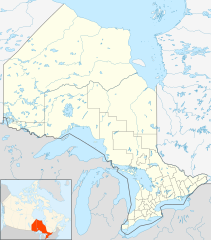
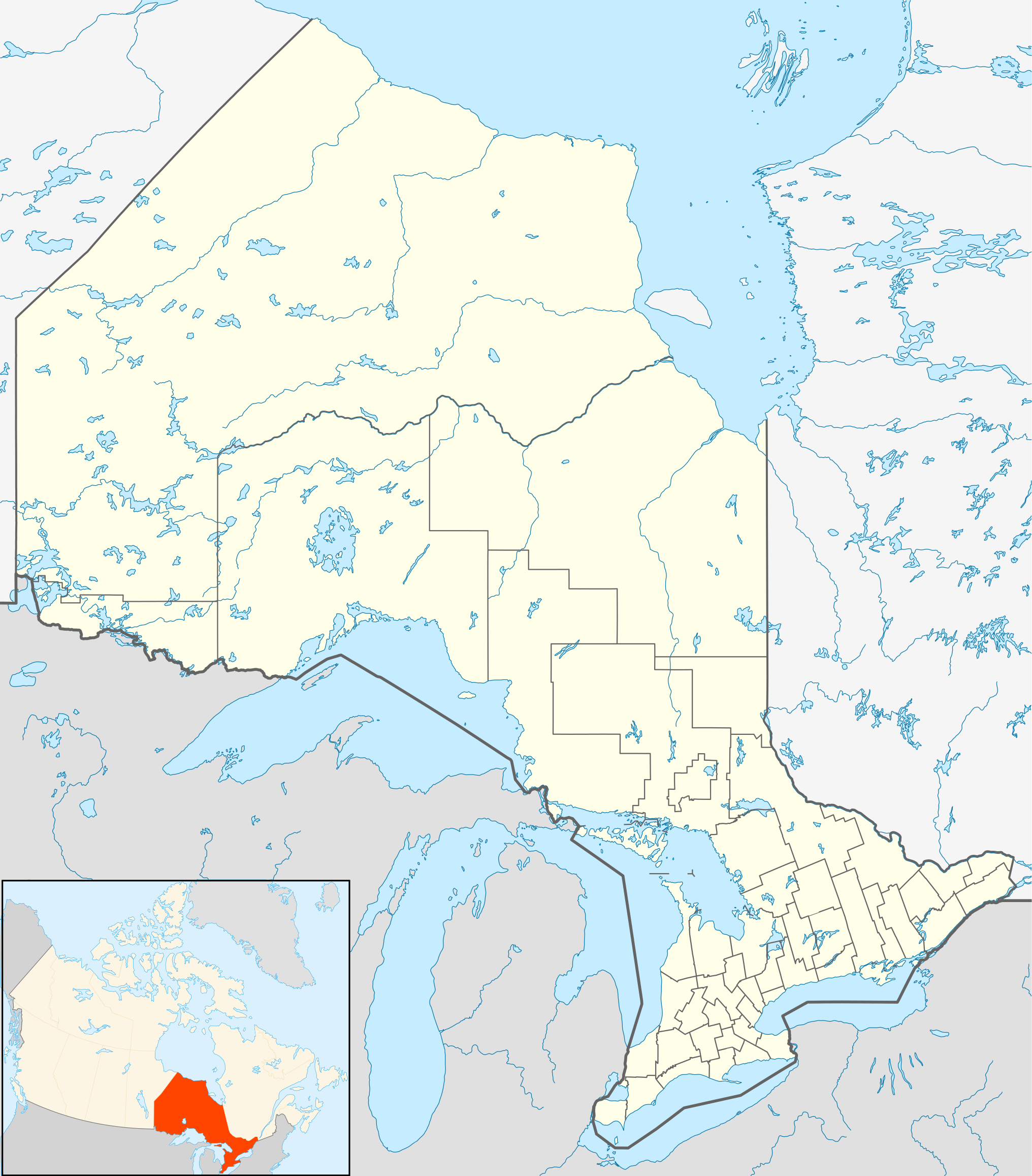
| anuik | 21:32, 2009 setul 22id | | 2,032 × 2,314 (1.4 MB) | Michiel1972 | {{int:filedesc}} {{Information |Description= {{de|Positionskarte von Ontario, Kanada}} Quadratische Plattkarte, N-S-Streckung 155 %. Geographische Begrenzung der Karte: * N: 57.1° N * S: 41.3° N * W: 95.5° W * O: 74.0° W |
Yüms
Pads nonik peyümons ad ragiv at.
Ragivigeb Valöpik
The following other wikis use this file:
- Geb su af.wikipedia.org
- Geb su als.wikipedia.org
- Geb su ar.wikipedia.org
- Geb su ast.wikipedia.org
- Geb su azb.wikipedia.org
- Geb su ba.wikipedia.org
- Geb su bg.wikipedia.org
- Geb su bn.wikipedia.org
- Geb su ceb.wikipedia.org
- Geb su cs.wikipedia.org
- Geb su da.wikipedia.org
- Geb su en.wikipedia.org
View more global usage of this file.