
Ragiv:Eglise Montcabrier (Tarn).jpg
Size of this preview: 800 × 524 pixels. Other resolutions: 320 × 210 pixels • 640 × 419 pixels • 1,024 × 671 pixels • 1,280 × 839 pixels • 2,560 × 1,678 pixels • 6,799 × 4,456 pixels.
Ragiv rigik (6,799 × 4,456 pixel, ragivagret: 19.46 MB, pated MIME: image/jpeg)
Plän brefik
|
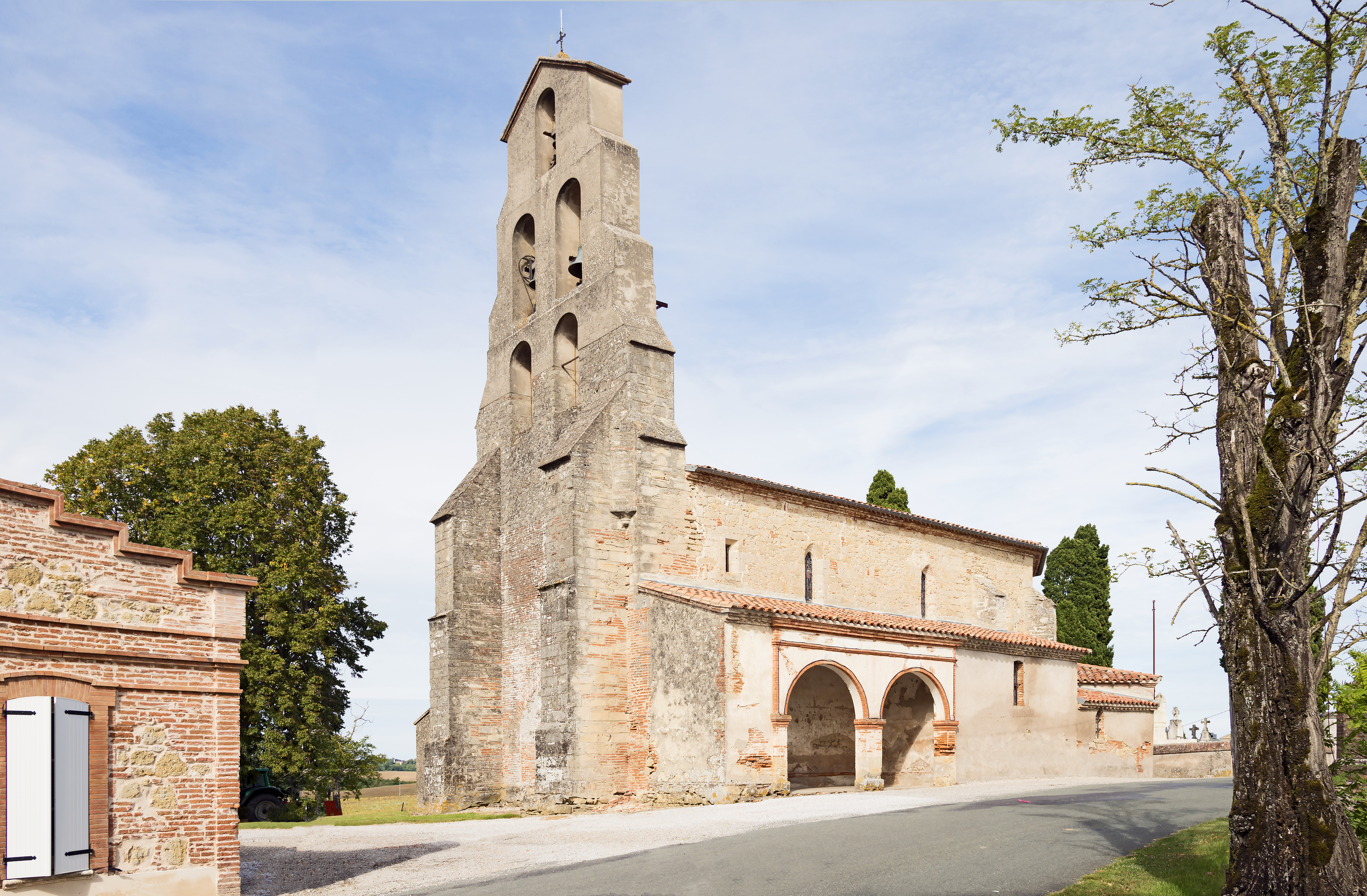
Church of Montcabrier (Tarn), France | ||||||||||||||||||
|
| ||||||||||||||||||

.jpg)
.jpg)
.jpg¶ms=043.627446_N_0001.732778_E_globe:Earth_class:object_type:object_region:FR-31_&language=vo)
Jenotem ragiva
Välolös däti/timi ad logön ragivi soäsä äbinon ün tim at.
| Dät/Tim | Magodil | Mafots | Geban | Küpet | |
|---|---|---|---|---|---|
| anuik | 14:59, 2014 gustul 30id | | 6,799 × 4,456 (19.46 MB) | Archaeodontosaurus | {{Information |Description ={{en|1=c}} |Source ={{own}} |Author =Archaeodontosaurus |Date = |Permission = |other_versions = }} |
Yüms
Pads sököl payümons ko pad at:
Ragivigeb Valöpik
The following other wikis use this file:
- Geb su ceb.wikipedia.org
- Geb su de.wikipedia.org
- Geb su en.wikipedia.org
- Geb su es.wikipedia.org
- Geb su fr.wikipedia.org
- Geb su it.wikipedia.org
- Geb su la.wikipedia.org
- Geb su mg.wikipedia.org
- Geb su ms.wikipedia.org
- Geb su oc.wikipedia.org
- Geb su pl.wikipedia.org
- Geb su pt.wikipedia.org
- Geb su ro.wikipedia.org
- Geb su ru.wikipedia.org
- Geb su simple.wikipedia.org
- Geb su sk.wikipedia.org
- Geb su sv.wikipedia.org
- Geb su vi.wikipedia.org
- Geb su war.wikipedia.org
- Geb su www.wikidata.org
- Geb su zh-min-nan.wikipedia.org
.jpg)