
Ragiv:Kronach - Stadtaufbau 2012 crop.jpg

Size of this preview: 800 × 533 pixels. Other resolutions: 320 × 213 pixels • 640 × 427 pixels • 1,024 × 683 pixels • 1,280 × 853 pixels • 2,560 × 1,707 pixels • 4,608 × 3,072 pixels.
Ragiv rigik (4,608 × 3,072 pixel, ragivagret: 7.49 MB, pated MIME: image/jpeg)
Plän brefik
| Bepenam | |
| Dät | |
| Fon | Vobot okik |
| Lautan | Tors |
| Other versions |
|

| Camera location | | View this and other nearby images on: OpenStreetMap |
|---|
Dälastad
I, the copyright holder of this work, hereby publish it under the following license:
This file is licensed under the Creative Commons Attribution-Share Alike 3.0 Germany license.
- Binol libik:
- to share – to copy, distribute and transmit the work
- to remix – to adapt the work
- Under the following conditions:
- attribution – You must give appropriate credit, provide a link to the license, and indicate if changes were made. You may do so in any reasonable manner, but not in any way that suggests the licensor endorses you or your use.
- share alike – If you remix, transform, or build upon the material, you must distribute your contributions under the same or compatible license as the original.


|
Hinweis: Dieses Bild ist nicht gemeinfrei! Es darf jedoch kostenlos genutzt werden, solange die Bedingungen seiner Lizenz eingehalten werden. | Note: This image is not in the public domain! You can use it free of charge as long as you comply with the terms of its license. |
| Diese Bedingungen beinhalten angemessene Urheber- und Rechteangaben. Bitte verwenden Sie für die Namensnennung den folgenden Text und platzieren Sie diesen vorzugsweise in unmittelbarer Nähe des Bildes: | These terms include that you give appropriate credit. Please use the following text for attribution and place it in the immediate vicinity of the image: | |
Tors / Wikimedia Commons / CC-BY-SA-3.0-DE
| ||
| Die Platzierung an einer anderen Stelle Ihrer Publikation ist ebenfalls möglich, solange dabei der Zusammenhang zwischen Bild und Urheberangabe gewahrt bleibt. | You may also place this text in a different location of your publication as long as the connection between image and credit remains intact. | |
Jenotem ragiva
Välolös däti/timi ad logön ragivi soäsä äbinon ün tim at.
| Dät/Tim | Magodil | Mafots | Geban | Küpet | |
|---|---|---|---|---|---|
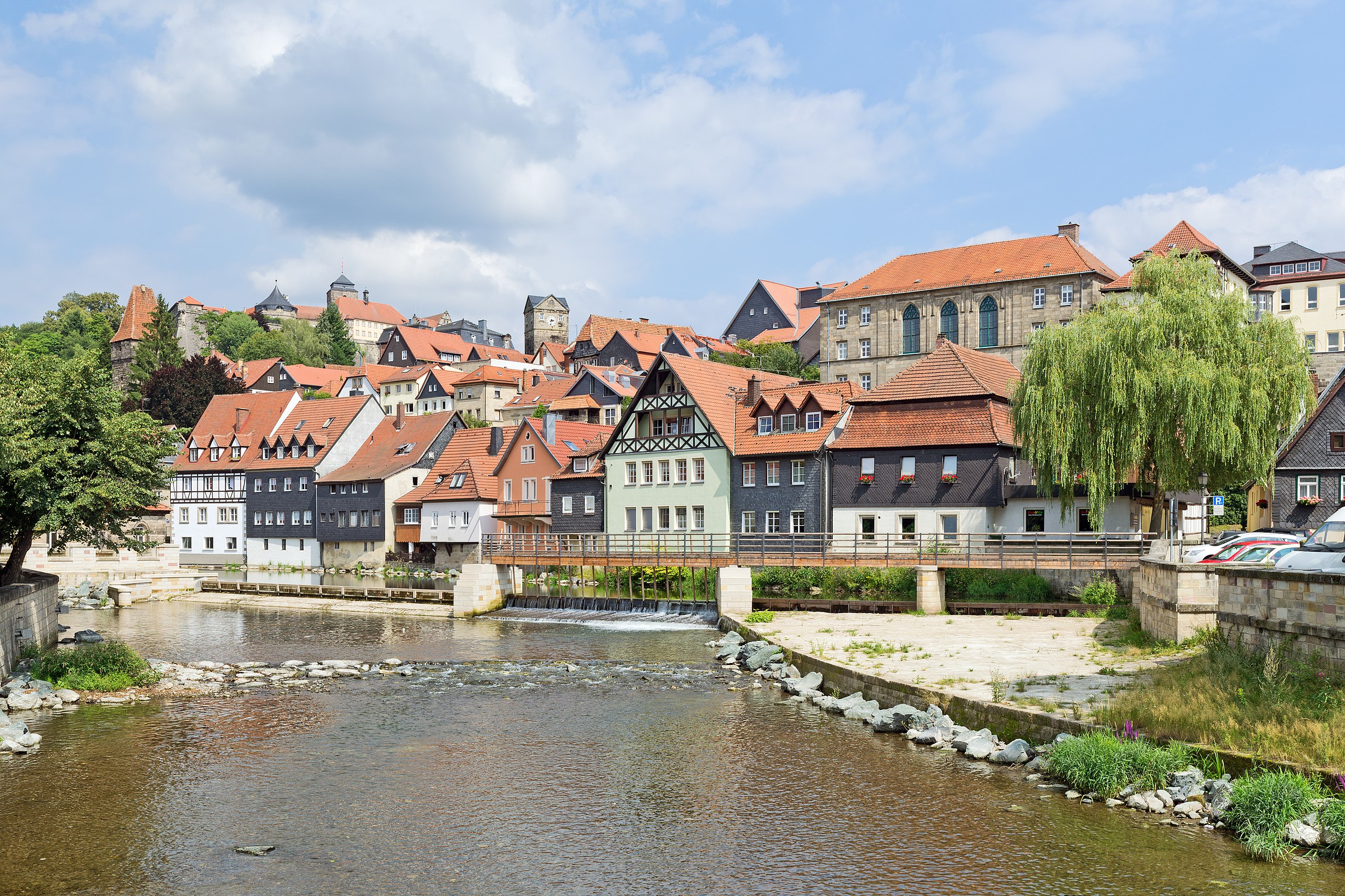
| anuik | 20:15, 2013 prilul 2id | | 4,608 × 3,072 (7.49 MB) | Tors | == {{int:filedesc}} == {{Information | description = {{de|Der Stadtaufbau der oberfränkischen Stadt Kronach an der Haßlach, unterhalb des Steinwehrs.}} | date = 2012-08 | source = {{own}} ... |
Yüms
Pads sököl payümons ko pad at:
Ragivigeb Valöpik
The following other wikis use this file:
- Geb su an.wikipedia.org
- Geb su ar.wikipedia.org
- Geb su arz.wikipedia.org
- Geb su azb.wikipedia.org
- Geb su bg.wikipedia.org
- Geb su ceb.wikipedia.org
- Geb su ce.wikipedia.org
- Geb su de.wikipedia.org
- Geb su de.wikivoyage.org
- Geb su en.wikipedia.org
- Geb su hu.wikipedia.org
- Geb su id.wikipedia.org
- Geb su ku.wikipedia.org
- Geb su lld.wikipedia.org
- Geb su lmo.wikipedia.org
- Geb su mk.wikipedia.org
- Geb su no.wikipedia.org
- Geb su pl.wikipedia.org
- Geb su ro.wikipedia.org
- Geb su ru.wikipedia.org
- Geb su simple.wikipedia.org
- Geb su sr.wikipedia.org
- Geb su tt.wikipedia.org
- Geb su uz.wikipedia.org
- Geb su www.wikidata.org