
Ragiv:Osaka in Osaka Prefecture Ja.svg

Ragiv rigik (ragiv in fomät: SVG, magodaziöbs 490 × 690, gretot: 30 KB)
Plän brefik
| Bepenam |
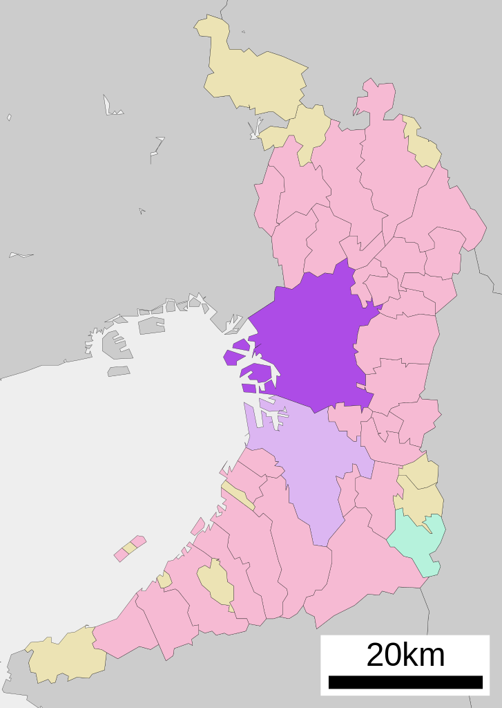
English: Location of Osaka in Osaka Prefecture
|
||
| Dät | |||
| Fon |
|
||
| Lautan | Lincun | ||
| Däl (Reusing this file) |
|
Dälastad

|
Däl pagevon ad kopiedön, seagivön e/u votükön dokümi at ma Dälazöt ad Dokümam Libik: GNU, Fomam: 1.2 u nulikum fa el Free Software Foundation (Stitod: Nünömaprograms libik); nen diläds nevotükovik, nen vödems tegapada balid, e leigo nen vödems tegapada lätik. Kopied dälazöta pekeninon in diläd: Dälazöt ad Dokümam Libik: GNU panemöl. |
- Binol libik:
- to share – to copy, distribute and transmit the work
- to remix – to adapt the work
- Under the following conditions:
- attribution – You must give appropriate credit, provide a link to the license, and indicate if changes were made. You may do so in any reasonable manner, but not in any way that suggests the licensor endorses you or your use.
- share alike – If you remix, transform, or build upon the material, you must distribute your contributions under the same or compatible license as the original.
Original upload log
| This file was moved from Japanese Wikipedia.
See below for original file information. | ||||||||||||||||||||||||
| ||||||||||||||||||||||||
|
| ||||||||||||||||||||||||
Jenotem ragiva
Välolös däti/timi ad logön ragivi soäsä äbinon ün tim at.
| Dät/Tim | Magodil | Mafots | Geban | Küpet | |
|---|---|---|---|---|---|
| anuik | 08:34, 2020 tobul 22id | | 490 × 690 (30 KB) | AichiWikiFixer | Updated as File:Map_of_Osaka_Prefecture_Ja.svg |
| 20:16, 2008 prilul 17id |  | 500 × 772 (16 KB) | Krisgrotius | {{Information| |Description= Location of Osaka in Osaka Prefecture |Source= Japanese wiki [http://ja.wikipedia.org/wiki/%E7%94%BB%E5%83%8F:%E5%9F%BA%E7%A4%8E%E8%87%AA%E6%B2%BB%E4%BD%93%E4%BD%8D%E7%BD%AE%E5%9B%B3_27100.svg] |Date=~~~~~ |Author=[[:ja: � | |
| 13:36, 2007 tobul 5id |  | 500 × 772 (16 KB) | Lincun | {{基礎自治体位置図画像情報|大阪府|大阪市}} |
Yüms
Pads sököl payümons ko pad at:
Ragivigeb Valöpik
The following other wikis use this file:
- Geb su arz.wikipedia.org
- Geb su azb.wikipedia.org
- Geb su bcl.wikipedia.org
- Geb su bn.wikipedia.org
- Geb su ca.wikipedia.org
- Geb su ceb.wikipedia.org
- Geb su ckb.wikipedia.org
- Geb su cr.wikipedia.org
- Geb su de.wikipedia.org
- Geb su en.wikipedia.org
- Geb su es.wikipedia.org
- Geb su fa.wikipedia.org
- Geb su fi.wikipedia.org
- Geb su frr.wikipedia.org
- Geb su fr.wikipedia.org
- Geb su fr.wiktionary.org
- Geb su fy.wikipedia.org
- Geb su ia.wikipedia.org
- Geb su id.wikipedia.org
- Geb su ilo.wikipedia.org
- Geb su incubator.wikimedia.org
- Geb su it.wikipedia.org
- Geb su ja.wikipedia.org
- Geb su ko.wikipedia.org
- Geb su mi.wikipedia.org
- Geb su mk.wikipedia.org
- Geb su ml.wikipedia.org
- Geb su ms.wikipedia.org
- Geb su nl.wikipedia.org
- Geb su no.wikipedia.org
- Geb su pnb.wikipedia.org
- Geb su sat.wikipedia.org
- Geb su sco.wikipedia.org
- Geb su sd.wikipedia.org
- Geb su simple.wikipedia.org
- Geb su si.wikipedia.org
- Geb su sk.wikipedia.org
- Geb su sr.wikipedia.org
- Geb su tg.wikipedia.org
View more global usage of this file.